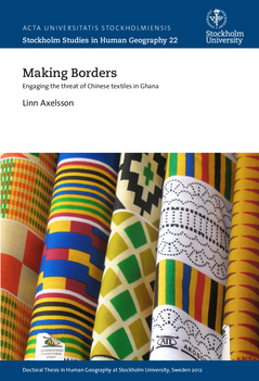
The borders of the twenty-first century come in many forms and are performed by an increasing number of actors in a broad variety of places, both within and beyond the territories of nation-states. This thesis sets out a detailed political geography of how borders operate to reconcile the often conflicting demands of open markets and security. Focusing on Ghana, where there is a widespread fear that the inflow of Chinese versions of African prints will lead to the collapse of the local textile industry, the study explores where and when borders are enforced, who performs them and what kinds of borders are enacted in order to maintain and protect the Ghanaian nation and market without compromising the country's status as a liberal economy. It combines interviews and documentary sources with analysis drawn from border, security and migration studies to explore three sets of spatial strategies that have defined the Ghanaian approach to the perceived threat of Chinese African prints. They are the institution of a single corridor for African print imports, the anti-counterfeiting raids carried out in Ghana's marketplaces, and the promotion of garments made from locally produced textiles as office wear through the National Friday Wear and Everyday Wear programmes. These strategies stretch, disperse and embody the borders of the state or nation to control trade in ways that resolve the fears of both open flows and closed borders. This thesis thus seeks to show how a geographical analysis can clarify the specificities of how borders now work to control mobility. In doing so, it not only unsettles conventional assumptions about what borders are and where they are supposed to be located, but also the idea that borders primarily are used to constrain the mobility of certain people while facilitating economic flows. Furthermore, this thesis adds to the understanding of the variety of responses to the inflow of Chinese consumer products to the African continent.


